A NEW WAY OF MANAGING SMART TERRITORIES.
The new paradigm for managing smart territories is based on the use of increased availability of geo-referenced information and the development of smart algorithms based on which different goals can be achieved. The Project "Development of a Decisions Support System against Extreme Events for the Management of the Upper Basin of Salado River in the Province of Buenos Aires", founded under this paradigm, has as main objective to develop a Smart Collaborative Platform (SCP) on part of the territory of the productive Pampas in Argentina, corresponding to the upper basin of Salado River.
Figure 1 - Salado river basin and subbasin.
Recent technological advances together with the foundation laid by the Master Plan of the Salado watershed allows us to conceive a new way of managing the resources, central subject of this proposal of R + D + i (Research, Development and Innovation).
Its specific objective is the development of a Decision Support System (DSS) against extreme events in order to have a technological tool designed to mitigate the associated risk, reduce vulnerability and increase the productive competitiveness of the region.
THE SALADO RIVER BASIN
The Salado River basin is one of the largest in Argentina. It has 170,000 km2, equivalent to half the surface of the Province of Buenos Aires. It is also one of the most populated, with 1,300,000 inhabitant, and one of the most productive regions of the country, as its agricultural production represents 25% of the national volume.
Climatic variations, characterized by having periodically and recurrent floods and droughts, are generating, every year more frequently, huge losses, not only in the production systems, that translates in a less competitive region, but also environmental and social damages that impair the quality of life of the population, as they increase their environmental and social vulnerability. To the aforementioned drawbacks of climate change, we can add the increasing difficulty to predict climatic trends and the occurrence of these extreme events, specially heavy rainfall that may outcome in floods. These conditions together with the intrinsic characteristics of the territory, corresponding to an extremely flat and numerous populated area, leads to increasing challenges for smart management of the activities in the territory in order to improve the citizens´ life quality.
Figure 2 - Productivity index and major soil constraints.
OBJECTIVES
As stated, this project's main objective is to develop a Decision Support System (DSS) for the watershed, in order to optimize the decision-making process related to extreme climatic events, particularly those characterized by severe weather such as floods and droughts.
It aims to lay the foundations of a system that in later stages could evolve into a platform to transform the basin into a Smart Territory, where the generation of information is possible and available for its decentralized uses, useful for the various social and productive stakeholders of the region.
INNOVATION AND DEVELOPMENT
The implementation of this project aims to achieve the following goals:
- The development of a Decision Support System (DSS) for the basin and as a multidisciplinary smart platform.
- The development and implementation of software applications for the provision of information in the decision making process.
- The creation of institutional capabilities to cope and plan along extreme climatic events in order to mitigate risks.
- The development of measurement technologies and the capture, storage and analysis of information.
This system is innovative as it will allow decision-making in a decentralized manner, allowing stakeholders to engage in a continuous learning process of their surrounding context.
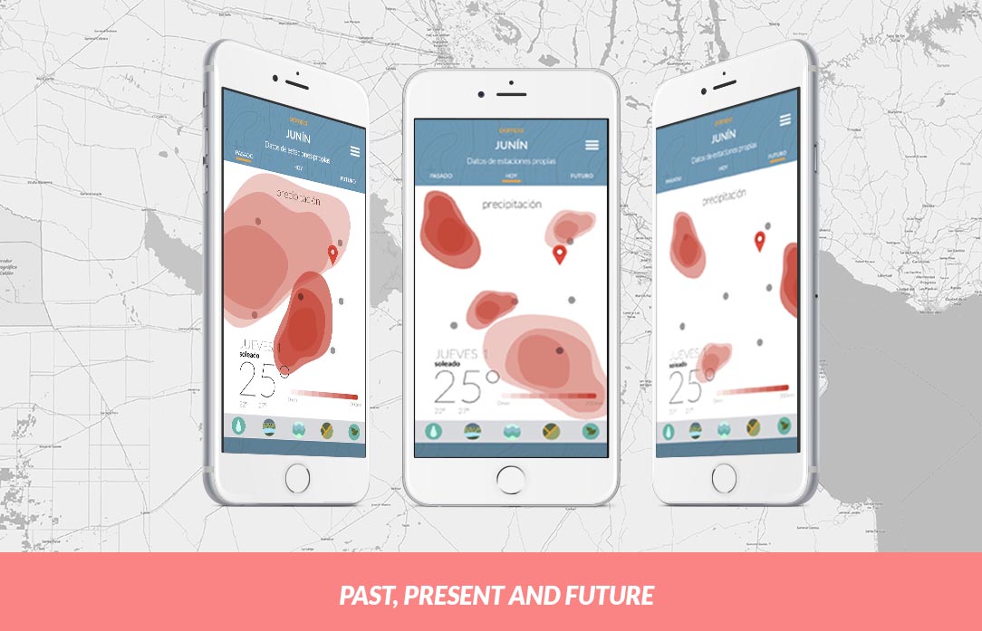
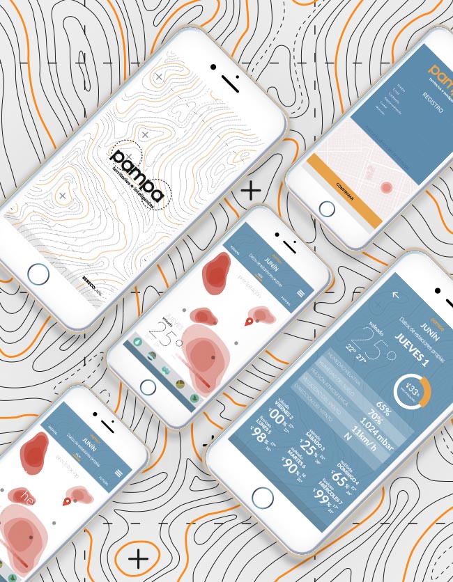
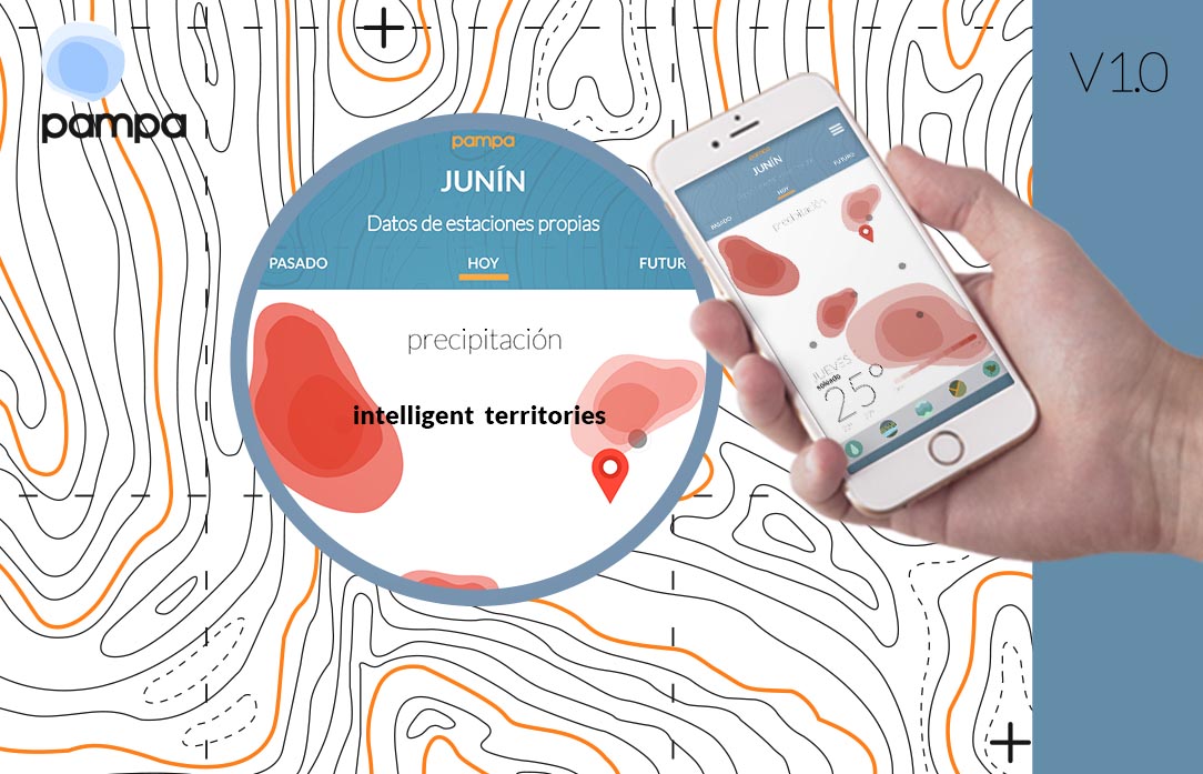
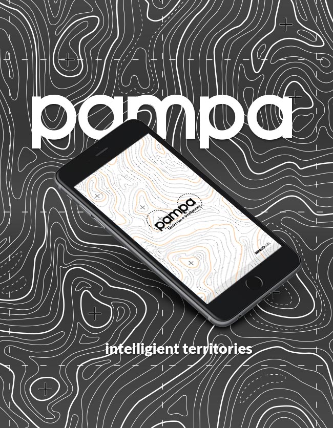
MOBILE APP


BERECO
Management and Coordination.
Systems design, Tools and information management.
TECMES
Instrumental design technology and networks.
UNLP
Research related to obtaining base territorial information.

UNNOBA
Vulnerability and risk assessment of agricultural and urban systems.